A year ago, the Yorkshire Dales National Park was extended, but what happened next?


As the crow flies, the quiet country road on which Stevie Hastie is standing lies roughly 15 miles inside Cumbria from the North Yorkshire border. But beside him on the grass verge, a new metal sign informs drivers they are about to enter the Yorkshire Dales National Park.
Eventually, 10 of these signs will appear on Cumbrian roads, all part of the process of bringing the best part of 160 square miles of the county into an already huge national park that reaches as far south as Bolton Abbey on the edge of industrial West Yorkshire.
Advertisement
Hide AdAdvertisement
Hide AdIntroducing the Yorkshire name to a landscape so far within its neighbour’s territory could be a problem, acknowledges Steve, who is the national park’s area manager, and is being done with great sensitivity. Thus, on this back road outside the village of Maulds Meaburn the sign resurrects the name of Westmorland, a still fondly remembered county abolished with Cumberland 40 years ago to create Cumbria. It has turned out to be a PR masterstroke.
“Any misgivings people had seem to have been addressed by what we’re doing,” Steve says. “I think the idea of this area being associated with the Yorkshire Dales has now been received positively by local people. In fact, we involved them in the placing of our boundary signs.”
When first mooted, the introduction of the Yorkshire Dales brand to a large chunk of Cumbria was viewed as a shotgun marriage by some. It took a public inquiry in 2013 for consent to finally be given, and up to £1.2m a year will be spent turning the area into an extension of the national park.
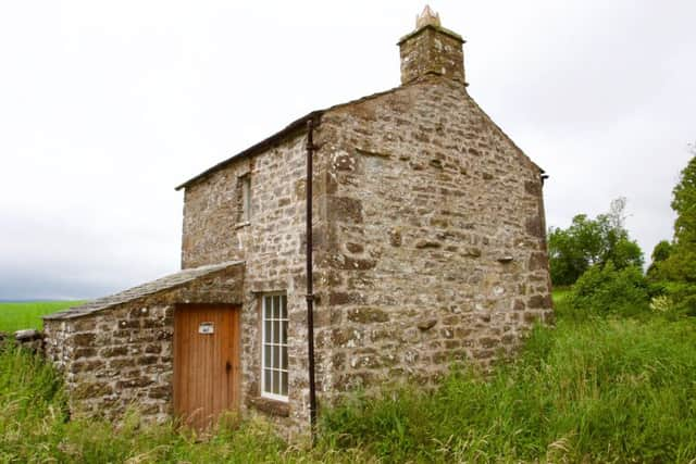
The change took effect last August 1st, and on that day the Dales’s brag list of scenic gems was lengthened to include the lovely Orton Fells, which the Lake District National Park had forcefully tried - and failed - to annex. Driving around there, you experience the illusion of having accidentally wandered into a parallel universe to Ribblesdale and Malhamdale in the “old” national park, so similar are the gleaming white scars and sheets of bone-white limestone pavement.
Advertisement
Hide AdAdvertisement
Hide AdInto the Dales fold, too, came the dramatic glacial valley of Mallerstang with its spectacular eastern face of Wild Boar Fell, favourite climb of the Pennine Way creator Tom Stephenson, as well as the northern side of the Howgill Fells, inexplicably left out of the national park when it was created back in 1954. And in came a whole host of villages no less picturesque than well known staples of Dales calendars like Grassington, Malham, West Burton and Reeth.